
Himalayan mountain landscape seen from the Sari Village area near Tungnath

High-altitude temple trail

Tungnath Trek Guide from Chopta

Prepare for the high-altitude trail from Chopta to Tungnath with realistic distance, weather and seasonal guidance, plus a stay in Sari Village.

Trail start

Chopta

Distance

Roughly 3.5–4 km one way

Approx. elevation

3,680 metres

Effort

Moderate, with sustained ascent

Tungnath is a high-altitude Shiva temple reached by a paved mountain trail from Chopta. The distance is relatively compact, but the sustained climb and elevation mean it should not be judged only by kilometres. Walk at a steady pace, drink water and leave enough time to return in daylight.

The temple's opening and closing are seasonal, and snow can remain on or around the route. The landscape may still be visited at other times when access is safe, but worship access, services and trail conditions should always be confirmed locally.

Tungnath trail from Chopta

The established trail begins at Chopta and climbs for roughly 3.5 to 4 km to Tungnath. It is stone or concrete-bound in many sections, but steep gradients, sun exposure, rain, ice or snow can increase the effort. There is no substitute for checking the route on the day you walk.

Chandrashila is a further, steeper extension beyond Tungnath. Treat it as an optional second stage and turn back if weather, visibility, fitness or daylight is not in your favour.

What to carry and how to prepare

Use comfortable shoes with reliable grip, dress in layers and carry rain and sun protection. Bring water and simple food while respecting local waste rules. People unused to elevation should climb slowly and pay attention to headache, nausea, unusual breathlessness or dizziness.

  • Start early and set a turnaround time.
  • Do not depend on shops being open in every season.
  • Avoid shortcuts that damage slopes or vegetation.

Seasonal access and temple dates

Temple dates change each year and are not the same as general trail access. Winter snow, pre-monsoon storms and monsoon rain can affect the road to Chopta as well as the walking route. Verify both before leaving Sari Village.

If the summit route is unsafe or visibility is poor, a shorter Chopta visit can still be worthwhile. Flexible plans are a strength in the mountains, not a failed itinerary.

Where to stay for the Tungnath trek

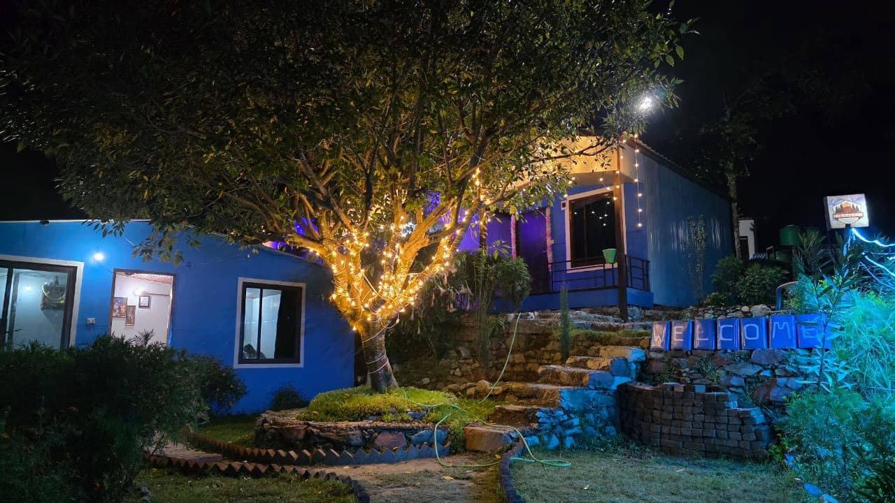
Lake Haven Resort in Sari Village provides a comfortable base for travellers combining Deoria Tal with a separate road journey to Chopta. It is not at the Tungnath trail itself, so plan an early transfer to Chopta and confirm approximate drive time locally before your trek day.

Practical answers

Frequently asked questions about Tungnath

How far is the Tungnath trek from Chopta?

Official Uttarakhand sources describe it as roughly 3.5 to 4 km one way, depending on the stated endpoint and measurement.

Is the Tungnath trek difficult?

It is generally described as moderate. The continuous ascent and high elevation can make it demanding even though the distance is not long.

Is Tungnath temple open all year?

No. Temple opening and closing dates are seasonal and change each year. Confirm the current dates through local or official sources.

Can beginners attempt the route?

Many reasonably active beginners do, but weather, altitude and snow matter. Start early, move slowly and be willing to turn around.

Can I visit Chandrashila on the same day?

It is possible for fit travellers in suitable conditions, but Chandrashila adds a steep high-altitude section. Decide based on weather, daylight and your condition at Tungnath.

Verify changing access details with local authorities and the Uttarakhand Tourism Panch Kedar information.

Call Resort Check Rooms