
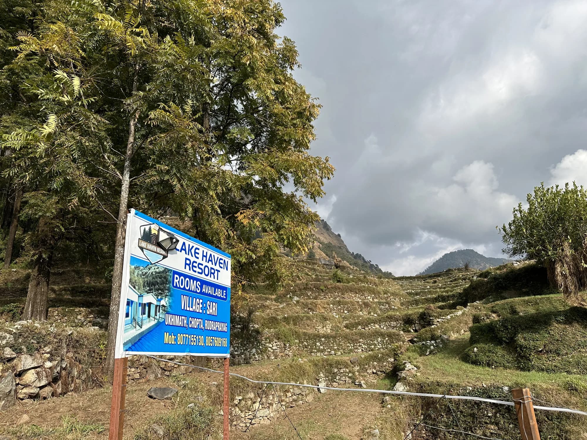
Terraced Himalayan landscape near Lake Haven Resort on the route toward Chopta

Summit above Tungnath

Chandrashila Trek Guide and Itinerary

Plan the steep extension from Tungnath to Chandrashila with practical advice on distance, elevation, weather, daylight and a responsible turnaround plan.

Route

Chopta via Tungnath

Beyond Tungnath

About 1.5 km

Approx. elevation

Around 4,000 metres

Final section

Steep and exposed

Chandrashila is the summit ridge above Tungnath, approached from Chopta. Its wide Himalayan panorama is the reason many travellers continue beyond the temple, but the final climb is steeper, higher and more exposed than the lower trail.

A summit attempt should remain conditional. Cloud, high wind, rain, snow, ice, fatigue and fading daylight are all valid reasons to turn back. There is no guaranteed sunrise view, and safety matters more than reaching a photo point.

Chopta–Tungnath–Chandrashila route

From Chopta, follow the established trail roughly 3.5 to 4 km to Tungnath. The Chandrashila continuation is about 1.5 km and climbs sharply toward the summit. Combined, the outing is approximately 5 km each way, though GPS readings and exact endpoints vary.

Allow generous time for the ascent, rest stops and a controlled descent. A fast itinerary copied from someone else may not suit your fitness, the weather or current trail conditions.

Planning for sunrise responsibly

A sunrise plan requires movement before daylight and carries additional navigation, cold and wildlife considerations. Use a knowledgeable local guide if you are unfamiliar with the route, carry a proper headlamp and confirm whether early access is advisable in current conditions.

Do not rely on a phone torch or assume other hikers will show the way. If wind, cloud, snow or ice makes the upper section unsafe, enjoy the lower route and return another time.

Weather, altitude and fitness

At around 4,000 metres, cold and wind can be significant even when Chopta feels comfortable. Layer clothing, protect yourself from sun and rain, carry water and climb at a measured pace. Anyone feeling persistent headache, dizziness, nausea or unusual breathlessness should descend and seek help.

  • Set a firm turnaround time before starting.
  • Carry a headlamp only as a backup unless your plan genuinely requires it.
  • Keep distance from cliff edges, particularly in wind or low visibility.

A multi-day base in Sari Village

Rather than pairing every walk into one exhausting day, stay in Sari Village and split Deoria Tal and Chandrashila into separate outings. Lake Haven Resort offers rooms, meals and local planning support, with a road journey required to reach the Chopta trailhead.

Practical answers

Frequently asked questions about Chandrashila

How far is Chandrashila from Tungnath?

The official Uttarakhand Tourism itinerary describes the steep extension as about 1.5 km.

Can I drive to Chandrashila?

No. Vehicles reach the Chopta area; Tungnath and Chandrashila are reached on foot.

Is the summit suitable for children?

That depends on age, fitness, altitude response and current conditions. The final climb is steep and exposed, so seek local guidance and do not pressure anyone to continue.

Is sunrise guaranteed to be visible?

No. Cloud, haze and weather can hide the view in any season.

Where can I stay before the trek?

Lake Haven Resort in Sari Village is a road-linked base for a multi-day Deoria Tal and Chopta itinerary. You still need transport from Sari to Chopta.

Verify changing access details with local authorities and the Uttarakhand Tourism Chopta–Chandrashila itinerary.

Call Resort Check Rooms